University Place has 5.9 miles of marine shoreline along Chambers Bay and Puget Sound, and almost none of it can hold a private home. The city's shoreline findings say the BNSF railroad right-of-way runs the entire length of the mainland shore. Apart from Pierce County's Chambers Creek Properties, only two established residential communities sit on the water side of the tracks: Day Island and Sunset Beach. Every waterfront home in the city is in one of those two enclaves. The supply is fixed, so it changes owners and gets rebuilt, but it doesn't grow. Anyone shopping for waterfront here is choosing among a small set of positions on the water and the ways of reaching them.
Most of the Shoreline Is Tracks and Bluff
Driving through University Place, you would hardly guess how little of its shore is residential. The city's shoreline findings describe the stretch outside Day Island, Sunset Beach and Chambers Creek as a railroad corridor 30 to 40 feet wide, with undeveloped steep slopes rising east of it. Sunset Beach runs about 1,500 feet along the water and is made up of single-family homes at moderate density. Day Island sits at the city's northwestern corner and, despite the name, is no longer cut off from the mainland. Between the island and the mainland is the Day Island Lagoon, lined with marinas, a boatyard and moorage. The city lists the Day Island Yacht Club, Day Island Yacht Harbor and Narrows Marina there, and most of Narrows Marina is actually inside Tacoma.
The city's 2016 Shoreline Master Program designates Sunset Beach and the residential parts of Day Island as Shoreline Residential. Chambers Bay, the Chambers Creek Properties, the rail corridor and the bluffs next to it are designated Urban Conservancy. Those labels match what you see from the water. Two pockets of houses sit beside miles of rail, bluff and public land.
Why the Tracks Got There First
The split was set more than a century ago. A history of the community published by the University Place School District dates the laying of railroad tracks along the waterfront to 1910. It dates the opening of the Pioneer Sand and Gravel Company, later known as the Lone Star Company, to 1912, and says the pit was once known as the largest of its kind in the United States. According to the city's findings, logging and then more than 100 years of intensive gravel mining turned a forested 250-foot bluff above Puget Sound into about two miles of gravel mines.
The mined land became public. Pierce County's sewer utility plan records that the utility bought 44 acres from the Lone Star and Glacier mining interests in 1979 for a treatment plant, then bought the remaining 886 acres in 1992. Together they make up the 930-acre Chambers Creek Properties. Today that land holds Chambers Bay, the wastewater plant and public open space. A shoreline that might in another town have been divided into estate lots now carries a rail line and county land.
A Supply That Grows Only by Rebuilding
That history settles how the market works. The lots on Day Island and Sunset Beach are small, and the city's 2014 shoreline findings described them as too small to divide further. The area's larger parcels along Puget Sound all sit landward of the BNSF tracks, mostly on steep slopes.
The same findings say that older homes on Day Island and Sunset Beach have been torn down and redeveloped, and that the city expects this to continue. That one sentence explains the market. New waterfront homes in University Place get built on lots that already hold an older home, so the number of homes stays where it is. The city's findings give no sign that more waterfront lots are coming, and the house on any one of them can be restored, expanded or replaced.
The countywide numbers show how far that market sits from the norm. Northwest Multiple Listing Service reports a Pierce County residential median sale price of $574,998 for October 2026, with an average of 50 days on market across 740 closed sales that month. Those figures describe a broad market with plenty of comparable homes. On Day Island and Sunset Beach, each sale is one of a small, fixed set of lots, and the county averages don't predict how any one of them will price or how long it will take to sell.
Sunset Beach, Reached on Foot
This late-summer listing makes the point. In August, The News Tribune toured a restored 1930 log cabin at 4420 Sunset Beach Road, then listed at about $1.5 million. The paper described a half-acre lot with gardens, a boat house, three fireplaces and views toward Fox Island and the Tacoma Narrows Bridge. That asking price was more than two and a half times the county's October median sale price.
The same article explains how residents reach that position. The News Tribune reported that Sunset Beach's 18 homes on the water are reached by crossing an active railroad line on foot, and that a thin sidewalk beside the tracks is the neighborhood's only road past the parking lot at the top of the hill. Two freight trains passed during the paper's hour at the house.
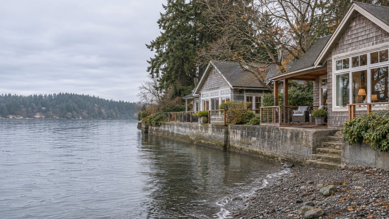
The place has drawn people for a long time. The News Tribune also recounted the four-story Sunset Beach Hotel, a 200-room resort reached by a carriage road and a steamer dock, which burned in October 1908. The paper also cited a 1996 Suburban Times account that some of the existing homes began as floating cabins on logs. Along this shore, the city's findings note bulkheads in front of the homes, along with residential piers and groins.
Day Island: A Bridge, a Lagoon and a Yacht Club
Day Island has a different trade-off. Here you drive across a bridge, and lots face either the open Narrows or the protected lagoon. The school district's history describes the island as a popular summer camping area that was subdivided in 1910 and reached by a first wooden bridge built in 1912. The bridge over the lagoon today was built in 1957, according to the Bridgehunter database. The 1910 lot lines and the city's later finding that these lots are too small to subdivide describe one continuous story.
The shoreline itself is a mix. The city's findings describe bulkheads up both the east and west shores of the island, numerous residential and marina piers, and several homes at the South Spit that extend out over the water. On the lagoon side, the Day Island Yacht Club has about 375 members. A federal court recounted in 2025 that the club owns its marina property at 2120 91st Avenue West along with the adjoining saltwater tidelands. The club's own history traces the idea for the organization to 1949.
Sediment in the lagoon has been a long-running concern for the club. Its case with University Place and Tacoma over sediment reaching its moorage ended in a consent decree entered on January 14, 2026. As part of that settlement, the City of University Place agreed to install a sediment separator near the intersection of 27th Street West, Vista Place West and Day Island Bridge Road West, upstream of the lagoon.
Reading a Listing on Either Enclave
The city's own findings record a long pattern of older homes on these lots being replaced, so the house standing on a lot today may not be the one standing there in a decade. The useful questions are about the position. You'd want to know whether a home faces the open Narrows or the lagoon, whether it has a pier or a boat house, and whether you'd reach it by the 1957 bridge or on foot across the tracks.
The access trade-off is part of the value. Sunset Beach trades a car at the door for privacy and a long run of open water, as The News Tribune's visit made clear. Day Island has a road, a bridge and a marina next door, and its lagoon side is tied to the yacht club and the separator the city has agreed to build.
A Few Questions Buyers Ask
Are there waterfront homes in University Place outside Day Island and Sunset Beach? The city's shoreline findings identify Day Island and Sunset Beach as the two established residential communities west of the BNSF tracks. The rest of the marine shore is rail corridor, steep slope or the county's Chambers Creek Properties.
How useful is the county median for pricing a home here? It's useful as a reference. Pierce County's $574,998 residential median for October 2026 comes from 740 closed sales across the county that month, while the two enclaves together are a small, fixed set of lots.
Whether you're weighing a lagoon-side home on Day Island or thinking about how to present a Sunset Beach property built around its history, Morrison House Sotheby's International Realty can walk through the lot, the access and the story with you. Request a private consultation.