What looks like one coastline in Gig Harbor is really a set of tiny markets that price water, views, privacy and dock access very differently. If you have toured a few coves and wondered why two homes with the same square footage live in different price bands, you are not alone. This guide gives you a clear map of the micro markets, what you actually pay for, and how to run smart due diligence before you act. Let’s dive in.
What “micro markets” mean here
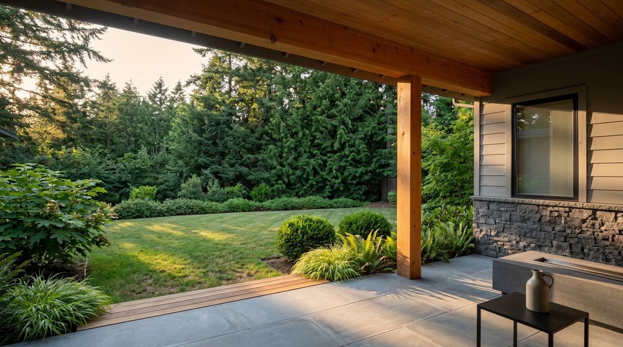
In Gig Harbor, small shifts in shoreline slope, tide depth and exposure change both lifestyle and value. A no-bank beach in a sunset cove serves you very differently than a high-bank perch above town. Walkability inside the Inner Harbor trades against acreage and privacy on Fox Island. Dock potential is not the same thing as a dock permit, and those details matter.
You will see local shorthand like no-bank, low-bank, medium and high-bank to describe the shoreline. You will also hear neighborhood names such as Wollochet, Horsehead, Henderson, and Purdy. Use them as a starting point, then confirm depth, frontage and permit status on the specific parcel.
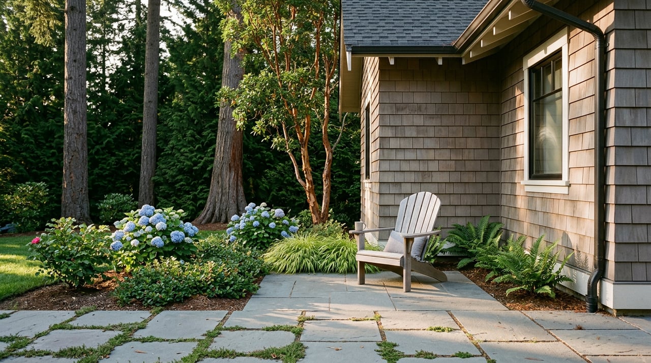
Inner Harbor: walkability and harbor life
The historic Inner Harbor wraps along Harborview Drive by Old Town, Skansie Brothers Park and Jerisich public dock. The setting is compact and walkable, with net sheds, marinas and community events that define daily life. You can explore the shoreline amenities around Skansie and Jerisich through the city’s overview of Skansie Brothers Park and Jerisich Dock.
What you pay for here:
- Walk-to restaurants, shops and harbor events
- Sheltered water and easy access to public moorage
- Smaller lots or townhomes that trade land for location
Pricing snapshot: inner-harbor no-bank homes and slips often list in the mid six-figure to low seven-figure band, with premiums for any private moorage. Recent listing examples place an 80-foot no-bank parcel in the heart of town in the 1.3 to 1.6 million range.
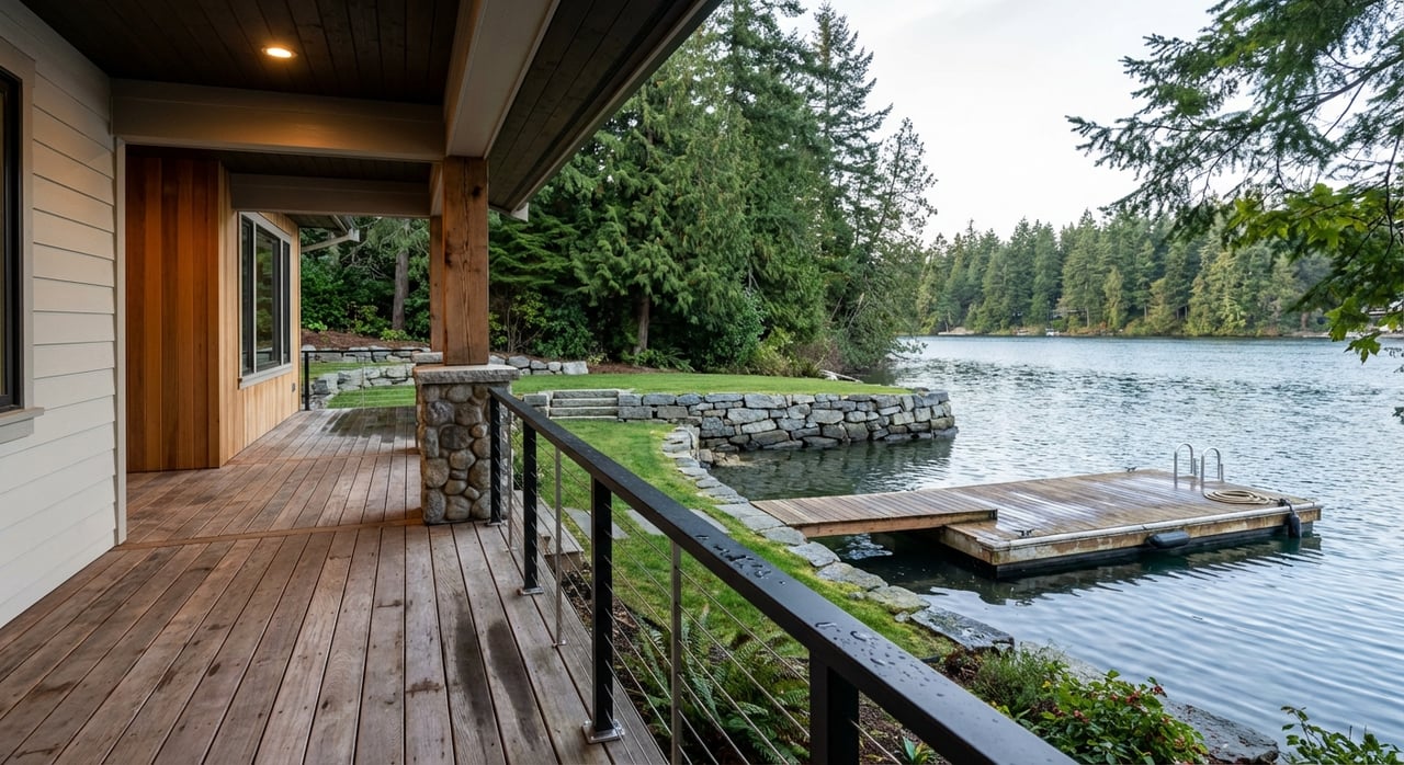
Wollochet and Horsehead: sunsets and docks
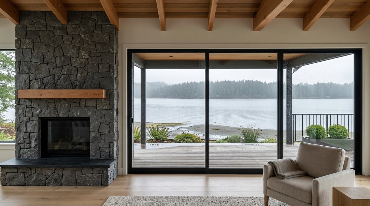
Wollochet Bay, Horsehead Bay and nearby Rosedale lean west and southwest toward the Olympics. You will find a mix of low-bank beach and medium or high-bank bluffs, plus pockets of deeper water near bay mouths. Many properties capture long evening light and wider open-water views.
What you pay for here:
- West and southwest exposure for sunsets and Olympic views
- Low-bank beach with room for water toys and easy shore use
- Parcels with private or shared deep-water dock potential
Pricing snapshot: this is where many of Gig Harbor’s recent top sales have clustered. Horsehead Bay estates with larger frontage and deep-water capability have traded around 2.3 to 3.0 million in 2025 public records, which reflects the premium for usable moorage plus lifestyle.
Henderson Bay and Purdy: open water and beach
Henderson Bay and the Purdy area face broad open water with longer linear frontage and gentle beach in many pockets. Kopachuck State Park sits nearby and serves as a recreational anchor for boating and paddling. The park’s public planning updates and coverage by local media highlight its role in the community, including access and roadway needs around the park, as seen in Gig Harbor Now’s reporting on Kopachuck State Park.
What you pay for here:
- Wide open-water views and longer beachfront
- Deeper low-tide access in some coves that can favor dock use
- Proximity to state park buoys and public launches for visiting craft
For visiting or seasonal moorage, state park buoy fields can add flexibility. Kopachuck’s buoy information is available via OnBuoy’s Kopachuck State Park page. Listings and sales here span the upper six figures to multiple millions, with renovated waterfronts and premium frontage reaching above 2 million.
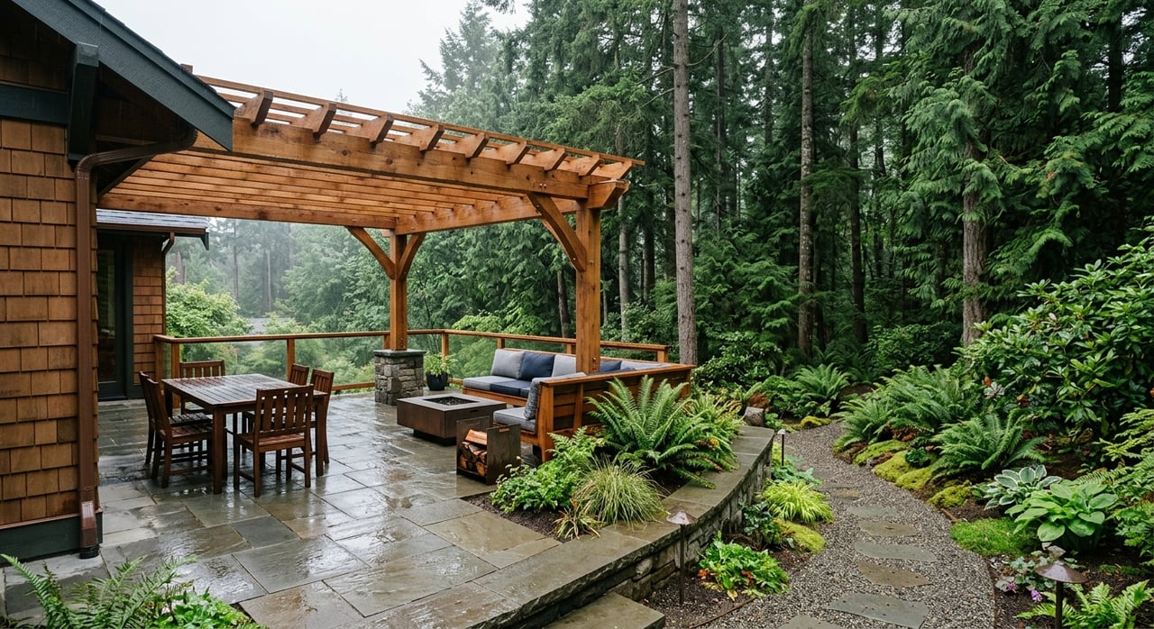
Fox Island and secluded coves: privacy first
Fox Island and select small-cove settings offer a quiet, more secluded experience. Larger lots, private road approaches and potential for private piers appear in some areas. You trade a few more minutes of drive time to downtown for privacy and a stronger sense of retreat.
What you pay for here:
- Acreage and seclusion with water as a backdrop
- Possibility of private docks or nearby club moorage
- Island setting balanced with short drives to services
Pricing varies from upper six figures to multi-million estates, driven by frontage, improvements and moorage.
View ridges above town: drama without the beach
High-bank neighborhoods and ridge lines above Old Town and near Narrows View deliver sweeping sights of the Narrows, Mt. Rainier and the Sound. The lifestyle is about view drama and privacy, not beach access. Many owners rely on nearby marinas for boat storage and day use.
What you pay for here:
- Unobstructed, panoramic views
- Gated or planned communities with a quiet setting
- Generally lower total prices than direct waterfront estates with docks, yet high per-square-foot for the view
What drives price on the water
Across Puget Sound and in Gig Harbor, a handful of attributes explain most waterfront price differences. The strongest driver at the high end is functional moorage. Deep-water docks that handle larger vessels are repeatedly highlighted in premium listings. Regional market updates help track overall direction, as seen in Realogics Sotheby’s Q2 2025 market trends.
Common premium factors:
- Deep-water moorage or an existing, permitted private dock
- West or southwest exposure and Olympic or open-water views
- Linear feet of frontage and usable low-bank or sandy beach
- Privacy, acreage and thoughtful site planning
- Walkable proximity to Old Town, parks and marinas
- Clear permit history that reduces risk for future improvements
- Fewer environmental constraints in front of the parcel
The spread in realized prices tells the story. Recent Horsehead and Henderson estates with larger frontage and deep-water capability reached the multi-million range, while smaller, walkable Inner Harbor footprints clustered lower. The right comparison is always a like-for-like match on bank type and moorage, not a broad neighborhood average.
Permits and constraints to know
Dock feasibility is a legal and biological question as much as a physical one. In Washington, local Shoreline Master Programs shape what is allowed, and they prioritize habitat protection. State administrative guidance emphasizes eelgrass, forage fish and shellfish concerns, which affect overwater coverage and pile placement. You can review the statewide guidance through Washington’s WAC materials on shoreline protections.
Pierce County also encourages joint-use docks where feasible. Court interpretations of county shoreline rules explain why single-use piers can be discouraged in certain designations. That policy can change whether an exclusive private dock is likely or whether a shared facility is the preferred path. See the county policy context in this Washington Court of Appeals opinion discussing joint-use piers.
Expect a multi-agency permit stack for any new or replacement dock. Local shoreline review, Washington Department of Fish and Wildlife approval for in-water work, and federal review can apply, along with a Department of Natural Resources lease if a structure crosses state tidelands. In-water work windows, biological surveys and mitigation are common parts of the process. Timelines can run from months to more than a year, depending on complexity.
You should also check flood and coastal hazard layers. Pierce County participates in FEMA’s DFIRM program, and special flood hazard zones can affect insurance, design elevations and shoreline armoring rules. Start with the county’s DFIRM and floodplain mapping reference and pair it with a site survey that shows base flood elevation.
Finally, confirm tideland ownership. If a dock or float would extend over state-owned aquatic lands, you will need a DNR authorization, which carries costs and conditions. Lease terms matter for both feasibility and long-term operating expenses.
Quick due diligence checklist
Use this list to compare properties apples to apples. Save it and bring it to showings.
- Bank type and low-tide depth. Identify no-bank, low, medium or high-bank and measure depth at mean low water for your planned boat length. A marine surveyor or existing permit exhibits can help.
- Existing dock status and permits. Gather shoreline approvals, WDFW Hydraulic Project Approval, any federal authorizations and DNR lease documents. Confirm expiration dates and as-built drawings for any dock or float.
- Linear feet and usable beach. Verify waterfront footage at record corners and note where sandy beach shifts to bulkhead or rock.
- Habitat constraints. Check for eelgrass, forage fish beaches and shellfish classifications. A recent biological survey can save you from surprises. State guidance on habitat protections is a helpful primer in WAC shoreline materials.
- Tideland ownership and DNR status. Confirm whether tidelands are privately owned or state-owned and whether any DNR lease is transferable.
- Flood zone and base flood elevation. Use county DFIRM layers to identify AE or VE zones and work with a surveyor to map elevations. Pierce County’s floodplain reference explains the framework.
- Access and lifestyle tradeoffs. Note walking distance to Old Town amenities around Skansie Brothers Park and Jerisich Dock, proximity to Kopachuck State Park, public launches and community event patterns.
- Shared dock governance. If moorage is joint-use, review cost sharing, maintenance reserves, dredging, insurance and voting rights. Pierce County policy that favors shared docks can influence both feasibility and long-term obligations, as highlighted in the court opinion on joint-use piers.
- Marine services and haul-out. Confirm slip length limits, haul-out options, pump-out and nearby service providers. Local resources are summarized by Ship to Shore Marine’s South Sound page.
- Recent matched comps. Rely on recent sales that match bank type, frontage and dock capability. Use broader market reports, like Q2 2025 trends, for directional context only.
Putting it all together
If you are deciding between a walkable Inner Harbor home and a west-facing beach with a private dock, start with how you plan to use the water. A sunrise coffee above town feels different than a sunset cruise from a deep-water slip. Both are wonderful, and each micro market prices its strengths in a distinct way. When you match the shoreline’s physical reality to your lifestyle, the right answer becomes clear.
When you are ready to compare parcels, our team brings deep local knowledge, discreet guidance and the global reach of Sotheby’s. We will help you confirm moorage details, simplify the permit picture and position you for a confident decision. Connect with Morrison House Sotheby’s International Realty® to Request a private consultation.
FAQs
What is the difference between no-bank and high-bank waterfront in Gig Harbor?
- No-bank or low-bank means easy beach access at or near grade, while high-bank means an elevated bluff with stairs or a pathway to the shore and a focus on view over direct beach use.
Can I build a new private dock in Pierce County?
- It depends on local shoreline rules, habitat, depth and tideland ownership. Joint-use docks are encouraged in many areas, and multi-agency permits plus biological surveys are often required.
How do flood zones affect a Gig Harbor waterfront purchase?
- Special flood hazard zones can change insurance costs and design elevations. Check county DFIRM layers and get a site survey to map base flood elevation before you plan improvements.
What if tidelands in front of the property are state-owned?
- You will likely need a Department of Natural Resources authorization or lease for any overwater structure, which adds cost and conditions that affect feasibility and long-term expenses.
Where can I moor if I buy a view home without a private dock?
- Many owners rely on nearby marinas, public moorage at Jerisich Dock and, seasonally, state park buoys. Verify slip lengths, availability and any permit requirements in advance.